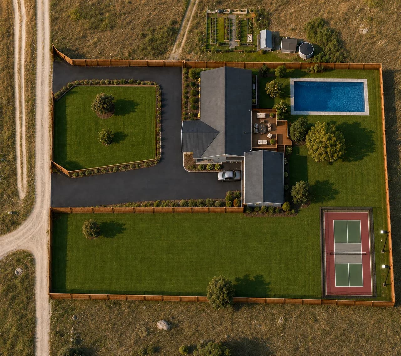
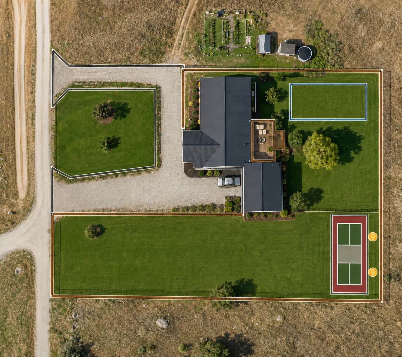


Aerial property plan with fence, deck, pool, driveway, concrete, asphalt, lighting, and retaining wall project areas

Satellite property improvement planning

Design it on your property map before you request quotes.

Draw the project where it will actually go. The estimator measures the scope, updates the planning price, and keeps your options visible before you request quotes.

  • No account required to start
  • Satellite drawing tools
  • Multi-item property plans
  • Planning estimates and quote requests

Estimator directory

What can you estimate?

Pick a project page to review common choices, then open the map estimator when you are ready to draw.

Plan outdoor projects with the details that actually change price.

Fence runs, deck footprints, pools, concrete pads, asphalt areas, sport courts, lighting layouts, and retaining walls all price differently. The useful starting point is not a generic national average. It is the size, location, style, site prep, equipment, access, and scope you expect to build.

Start with a calculator when you already know the measurements. Use the map estimator when layout matters. Add an address when you want approved local pricing signals considered before you request quotes.

Shape and size

Length, area, height, depth, court count, wall face, fixture count, and pad size feed the estimate.

Scope choices

Materials, finishes, bases, railings, gates, stairs, equipment, lights, colors, and demolition change the range.

Local context

Published labor, regional cost, permit, weather, soil, demand, material, and risk data can adjust planning values.

Quote-ready details

Contractors receive selected options, measurements, notes, photos, and the project elements you want quoted.

Use the property map when the layout matters.

The estimator lets you search the property, draw the work where it belongs, name each project element, and compare planning prices as the design changes. This is the best path for projects where size, location, access, or multiple scopes need to be clear before a contractor reviews the request.

  • Draw lines, areas, sport courts, lighting, walls, gates, stairs, and linked project elements.
  • See a single planning price, a low-high range, and Materials, Labor, Overhead, and Profit buckets.
  • Attach photos or videos and request quotes with a more complete project packet.
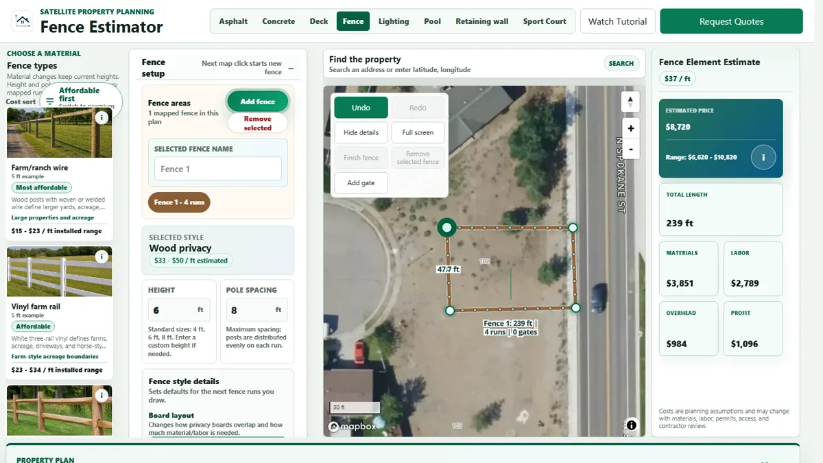
Current estimator workspace showing a fence drawn on a property map with live pricing and project plan details
Draw the project on the property, then send contractors a clearer scope.
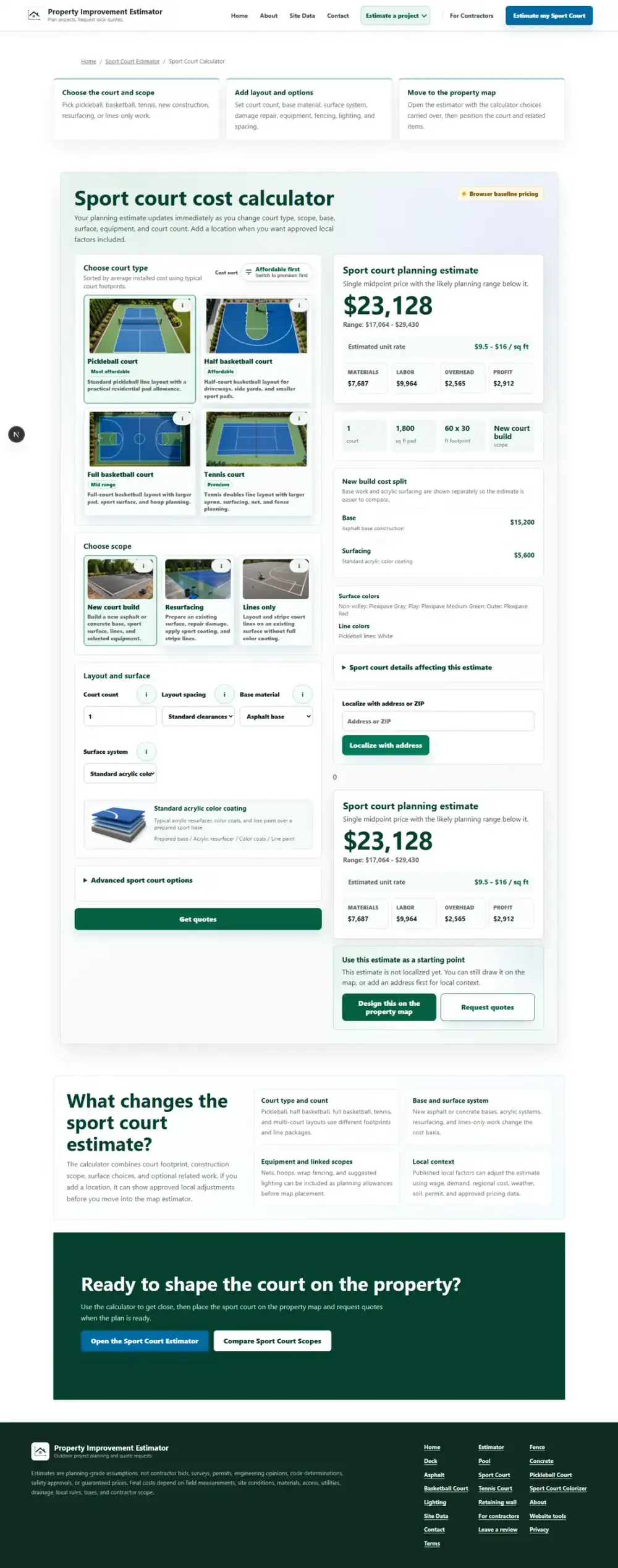
Sport court calculator showing project options, an immediate estimate, cost buckets, and map handoff actions
Calculators give an immediate planning range, then hand off to the map estimator.

Use a calculator when you already know the specs.

The calculator pages are built for quick planning, not generic averages. Enter the project type, style, dimensions, options, and address or ZIP. The estimate updates immediately, then approved local data can adjust the planning range where it is available.

From there, you can request a standard quote or open the map estimator with the calculator choices carried over for a more detailed property plan.

What can modify the planning range after a location is added?

Published pricing rows set the base. Local public data can then adjust or explain the estimate when a matching factor has been imported, reviewed, and published. Final bids still depend on field conditions, local rules, access, materials, and contractor scope.

Published installed pricing

Property Improvement Estimator Admin Pricing

Active low, midpoint, and high ranges, cost buckets, style options, and add-ons

Sets the base estimate before local context is applied.

Population and property context

U.S. Census Bureau

ACS 5-year population, housing, occupancy, home age, and value context

Adds local property context for city and state pages.

Trade wage levels

U.S. Bureau of Labor Statistics

Occupational Employment and Wage Statistics

Supports local labor assumptions where state or metro wage levels differ.

County contractor market

U.S. Bureau of Labor Statistics

County construction employment, establishments, and wages

Helps model contractor availability and labor-market pressure.

Material cost movement

U.S. Bureau of Labor Statistics

Producer Price Index material series

Used for national material-cost movement where the pricing model has an approved material factor.

Regional cost level

Bureau of Economic Analysis

Regional Price Parities

Adjusts broader cost context for states and metro areas.

Permit and building activity

U.S. Census Bureau

Building Permits Survey

Adds construction-demand and scheduling-pressure context where published.

Weather and climate

NOAA and National Weather Service

Climate normals, precipitation, heat, freeze, snow, wind, and weather context

Helps explain planning adjustments for curing, excavation, base prep, seasonality, and durability.

Soil and base-prep context

USDA Natural Resources Conservation Service

STATSGO2, Soil Data Access, and SSURGO summary data

Supports drainage, clay, excavation, frost, and base-prep context.

Hazard and risk context

Federal Emergency Management Agency

National Risk Index and hazard context

Adds planning context for flood, wildfire, wind, hail, landslide, and related local risks.

Property Improvement Estimator is not affiliated with, sponsored by, or endorsed by these agencies. Agency names are shown for source attribution only.

Choose the project you want to design and price

Each project page explains the common scope choices, the measurements that matter, and the path into the calculator or map estimator.

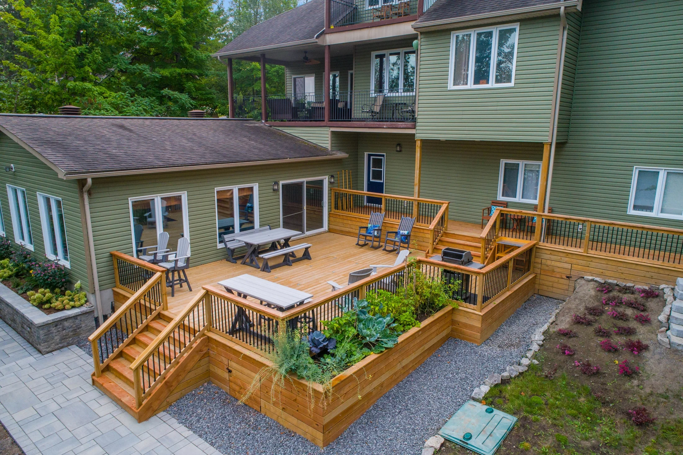
Deck planning exampleArea drawing
Style choicesComposite DeckingPressure-Treated WoodPVC (Vinyl) DeckingPremium Hardwoods (Ipe & Cedar)

Deck

Area-based deck footprint with perimeter, rail, stairs, and elevation allowances.

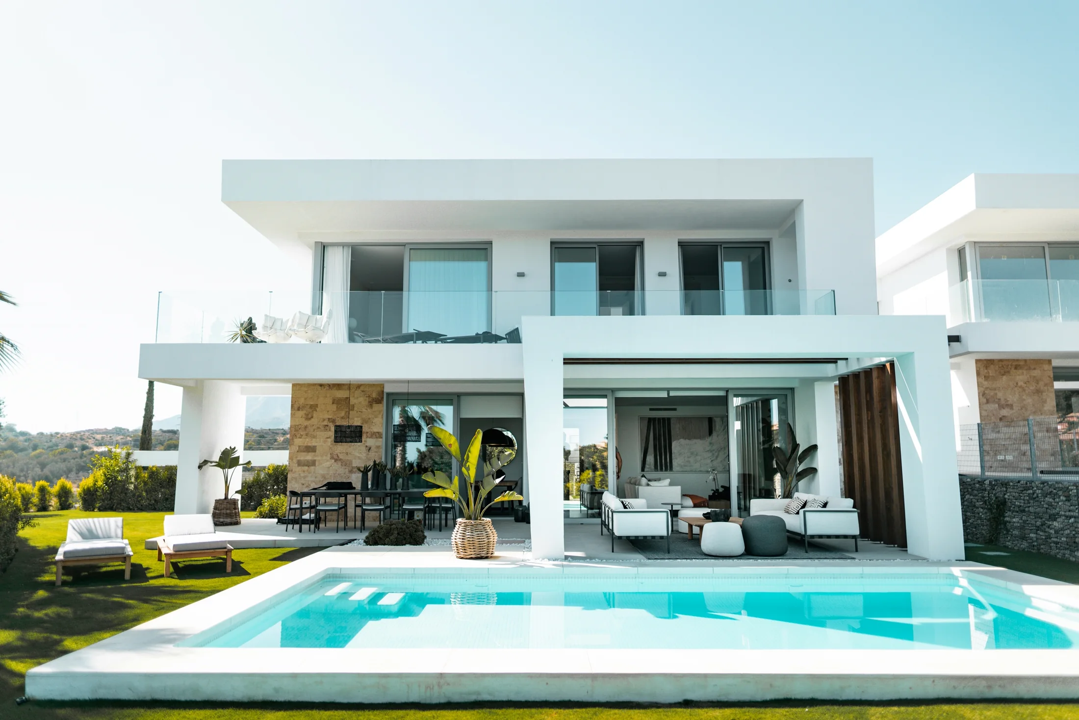
Pool planning exampleArea drawing
Style choicesVinyl liner poolFiberglass poolGunite / concrete poolSemi-inground pool

Pool

Area-based pool footprint with type, coping, and surrounding deck allowances.

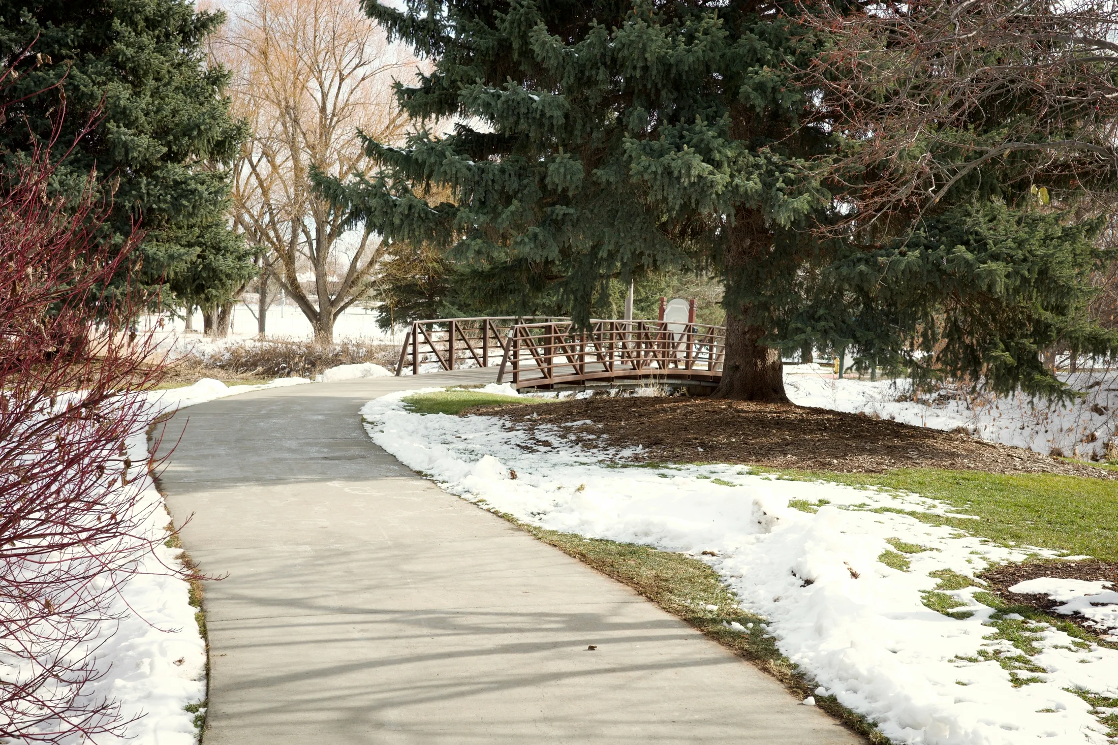
Asphalt planning exampleArea drawing
Style choicesNew asphalt padAsphalt overlayParking lot / large paved areaSeal coating

Asphalt

Area-based asphalt scope with new paving, overlay, seal coating, pavement depth, base depth, terrain, and striping allowances.

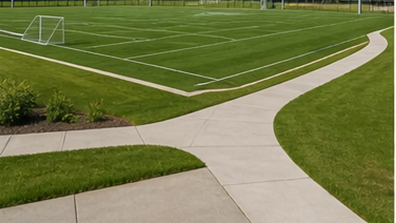
Sport Field planning exampleArea drawing
Style choicesSoccer fieldBaseball fieldSoftball fieldFootball field+6 more

Sport Field

Area-based sport field planning for turf, natural grass, tracks, fencing, seating, drainage, irrigation, and field equipment.

Lighting planning exampleArea drawing
Style choicesSport court lightingArea / flood lightingPath / walkway lightingLandscape / accent lighting+1 more

Lighting

Fixture-based lighting planning with coverage grids, aim controls, mounting height, and daylight preview.

What property planners say

Real project feedback, reviewed before it appears here

Reviews are collected from Property Improvement Estimator users and shown only after approval. They are not pricing guarantees, contractor endorsements, or promises of project outcome.

Help future property planners understand the planning experience.

Share a quick review, upload a photo or pick a site-provided image, or send a suggestion for what should be improved next.

Leave a Review or Suggestion

Planning tips

A clearer plan helps contractors respond faster

Property drawings are planning-grade, not surveys or final bids. Use them to organize the conversation before a contractor verifies field conditions.

01

Draw each item separately

Fence, driveway, deck, pool, concrete, asphalt, and wall work can all be included without replacing each other.

02

Include access and obstacles

Driveway access, narrow side yards, slopes, trees, old materials, and staging space can affect labor.

03

Separate quote scopes

Multiple project elements can be routed to different contractor trades while staying in one property plan.

04

Add photos and video

Ground-level media helps explain grade, demolition, drainage, utility concerns, and existing conditions.

Start with the property map

Build your property improvement plan in one place.

Choose a project type, draw it on the map, compare the planning range, then request quotes when the scope is clear.